

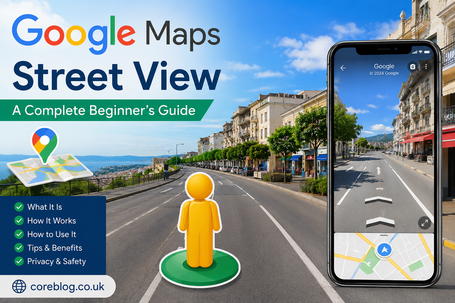
Google Maps Street View: A Complete Beginner’s Guide
Google Maps Street View has changed the way people explore the world online. Whether you’re checking the entrance to a hotel before traveling, previewing a new neighborhood, planning a driving route, or simply exploring famous landmarks from your home, Street View offers an immersive way to see places as they appear on the ground.
Unlike traditional maps, which display roads and locations from above, Google Maps Street View lets you look around using panoramic, street-level images. This makes navigation easier, helps users recognize landmarks, and provides valuable context that satellite imagery alone cannot offer.
This beginner’s guide explains how Google Maps Street View works, how to use it on different devices, its benefits, privacy protections, limitations, and practical tips for getting the most from this powerful feature.
Key Takeaways
- Google Maps Street View provides interactive 360-degree panoramic images of streets and public places.
- It is available on desktop browsers, smartphones, and tablets.
- Street View is useful for travel planning, navigation, real estate research, and virtual exploration.
- Google regularly updates Street View imagery in many regions, although update frequency varies.
- Privacy measures include automatic blurring of faces and vehicle license plates.
Main Article
What Is Google Maps Street View?
Google Maps Street View is a feature within Google Maps that displays panoramic photographs captured at street level. Instead of viewing locations from above, users can virtually “stand” on a street and look in every direction.
Street View covers millions of miles of roads across numerous countries. Images are collected using specially equipped vehicles, backpacks, trolleys, boats, snowmobiles, and other camera systems designed for different environments.
The result is a highly realistic representation of streets, landmarks, parks, tourist attractions, university campuses, and many other publicly accessible locations.
How Does Google Maps Street View Work?
Street View relies on specialized camera systems that capture overlapping high-resolution photographs while moving through public areas.
Google then processes these images by:
- Stitching individual photos into seamless 360-degree panoramas
- Aligning images with map locations
- Automatically blurring faces and license plates
- Improving image quality and correcting visual distortions
Users can move virtually along roads by clicking or tapping directional arrows.
Where Can You Access Street View?
Google Maps Street View is available across several platforms.
| Platform | Availability |
|---|---|
| Desktop Browser | Yes |
| Android App | Yes |
| iPhone & iPad | Yes |
| Mobile Browser | Limited in some cases |
The experience is generally best on desktop because larger screens provide easier navigation.
How to Use Google Maps Street View
On a Desktop Computer
- Open Google Maps.
- Search for a location.
- Drag the yellow Pegman icon onto a highlighted road.
- Release the icon.
- Explore by clicking and dragging your mouse.
Navigation arrows allow you to move down streets just as if you were walking or driving.
On a Smartphone
Using the mobile app is equally straightforward.
- Open Google Maps.
- Search for a destination.
- Tap the location marker.
- Select the Street View image if available.
- Rotate your phone or swipe the screen to explore.
Many modern smartphones also support motion controls, making exploration feel more natural.
Main Features of Google Maps Street View
Street View includes several features beyond simply viewing roads.
360-Degree Viewing
Users can look in every direction, including:
- Left
- Right
- Behind
- Up toward buildings
- Down toward sidewalks
This creates a realistic visual experience.
Street Navigation
Directional arrows let users move from one panorama to another, effectively walking through streets virtually.
Zoom Controls
Users can zoom in for closer inspection of:
- Storefronts
- Building entrances
- Street signs
- Parking areas
- Landmarks
Historical Imagery
In many locations, Google offers older Street View images.
This feature allows users to compare how an area has changed over time, making it useful for historical research, urban development studies, and property comparisons.
Practical Uses of Google Maps Street View
Street View serves far more purposes than simple exploration.
Travel Planning
Before visiting a destination, travelers can:
- Locate hotel entrances
- Identify nearby restaurants
- Understand local surroundings
- Find parking areas
- Recognize landmarks
Everyday Navigation
Seeing an actual street often makes navigation easier than relying solely on map directions.
Users can identify:
- Building entrances
- Crosswalks
- Bus stops
- Traffic signs
- Intersections
Real Estate Research
Prospective buyers and renters frequently use Street View to examine neighborhoods before scheduling visits.
Although it should never replace an in-person inspection, it provides valuable context.
Business Verification
Customers often preview businesses to:
- Confirm entrances
- Check accessibility
- View parking availability
- Understand nearby surroundings
Education
Teachers and students use Street View to explore:
- Museums
- Historical landmarks
- Universities
- National parks
- Famous cities
Virtual exploration helps make geography and history more engaging.
Google Maps Street View vs Satellite View
Although both features belong to Google Maps, they serve different purposes.
| Google Maps Street View | Satellite View |
|---|---|
| Ground-level perspective | Aerial perspective |
| Interactive 360° images | Top-down imagery |
| Best for navigation | Best for geography |
| Shows buildings from street level | Shows entire landscapes |
| Useful for finding entrances | Useful for route planning |
Many users switch between both views for a more complete understanding of an area.
Benefits of Using Street View
Google Maps Street View offers several advantages.
Better Route Familiarity
Previewing roads before driving can reduce uncertainty.
Increased Confidence
Knowing what a destination looks like helps users arrive with greater confidence.
Time Savings
Visual confirmation often eliminates unnecessary searching after arrival.
Accessibility
People who cannot easily travel can virtually explore famous locations worldwide.
Business Discovery
Street View allows users to evaluate businesses before visiting in person.
Privacy and Security
Privacy is an important part of Street View.
Google automatically blurs:
- Human faces
- Vehicle license plates
If users notice sensitive information that remains visible, they can request additional image blurring through Google’s reporting process.
It’s important to remember that Street View images are captured from public locations. Private property interiors are not included unless owners voluntarily provide virtual tours.
Why Some Areas Do Not Have Street View
Street View is extensive but not universal.
Common reasons include:
- Private roads
- Remote wilderness
- Restricted government areas
- Difficult terrain
- Safety concerns
- Limited access
Coverage differs significantly between countries and regions.
How Often Is Street View Updated?
There is no universal update schedule.
Factors affecting updates include:
- Population density
- Road changes
- Infrastructure projects
- Geographic location
- Availability of Street View vehicles
Busy cities are generally updated more frequently than rural areas.
Tips for Getting the Most from Google Maps Street View
To improve your experience:
- Use full-screen mode on desktop.
- Switch between satellite and Street View.
- Zoom in to inspect details.
- Explore historical imagery where available.
- Preview destinations before traveling.
- Check business entrances before appointments.
- Use Street View to familiarize yourself with unfamiliar neighborhoods.
Common Limitations
While highly useful, Street View has some limitations.
Images May Be Outdated
Construction, renovations, or road changes may not yet appear.
Weather Conditions
Images are captured under varying conditions, so lighting and visibility can differ.
Limited Indoor Coverage
Most imagery focuses on public outdoor spaces.
Regional Availability
Coverage varies depending on local regulations and data collection efforts.
Understanding these limitations helps users interpret Street View accurately.
Frequently Asked Questions
What is Google Maps Street View used for?
It allows users to explore streets, neighborhoods, landmarks, and public places through interactive panoramic images, making travel planning and navigation easier.
Is Google Maps Street View free?
Yes. Street View is available at no additional cost through Google Maps on supported devices.
Can I see old Street View images?
In many locations, historical imagery is available, allowing users to compare older and newer photographs of the same location.
Why can’t I access Street View everywhere?
Coverage depends on local regulations, accessibility, geography, and whether Google has collected imagery for that location.
How does Google protect privacy in Street View?
Google automatically blurs faces and vehicle license plates. Users can also report images that require additional blurring.
Does Street View work on mobile devices?
Yes. Google Maps Street View is available through Android and iOS apps, providing a similar experience to the desktop version.
Can businesses appear on Street View?
Yes. Businesses located along covered roads often appear naturally in Street View images, and some also offer indoor virtual tours.
Conclusion
Google Maps Street View is much more than a visual feature within Google Maps. It is a practical tool for navigation, travel planning, education, real estate research, and exploring places around the world from virtually anywhere.
For beginners, learning how to switch into Street View, navigate panoramas, and compare locations with satellite imagery can greatly improve the overall mapping experience. While coverage and image dates vary by region, Street View continues to provide valuable visual context that traditional maps cannot offer.
Whether you’re preparing for a trip, searching for a business, exploring a new neighborhood, or simply satisfying your curiosity about distant places, Google Maps Street View offers an intuitive and informative way to see the world from street level.
















Leave a Reply